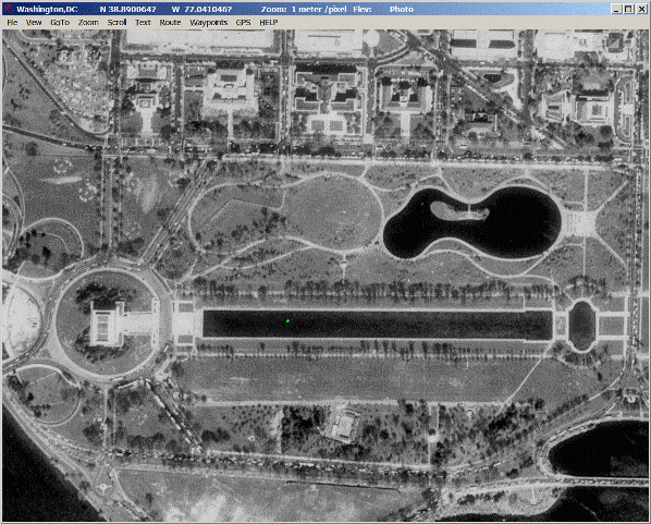
USAPhotoMaps downloads USGS aerial photo and topology map data from Microsoft’s free TerraServer Web site, saves it on your hard drive, and creates maps with GPS accuracy. You can scroll and zoom, see latitude/longitude, USGS Landmarks, TIGER/Line streets, elevation and contour lines, add waypoints, routes, and text, go to any address, populated place, USGS landmark, or latitude/longitude in the U.S.A, transfer waypoints, tracks, and routes to and from most GPS receivers, see your GPS location etc.
Related Articles
JPEG and PNG Stripper – Remove Metadata from JPEG and PNG Image Files
JPEG and PNG Stripper is a freeware to remove metadata from JPEG and PNG image files. It does not impacts the image quality and it helps to reduce size of images. It has simple interface in which you can drag and drop the image files for which you want to remove the EXIF data. […]
DiskBoss – Download Free File Managing Software
DiskBoss is free file managing software that utilize the disk space on your computer. You can set the way your files are classified and can retain your file information for categories to help you keep your file space organized. It allows to save files from multiple computers. […]
Download Touchpad Blocker – Detect Accidental Touchpad Taps
Touchpad Blocker is a free tool that can be used to detect accidental touchpad taps and intercept them before Windows has a chance to act on them. It works by block the touchpad for a user-defined period after any keys are pressed. This helps to eliminate accidental activation. […]
Be the first to comment