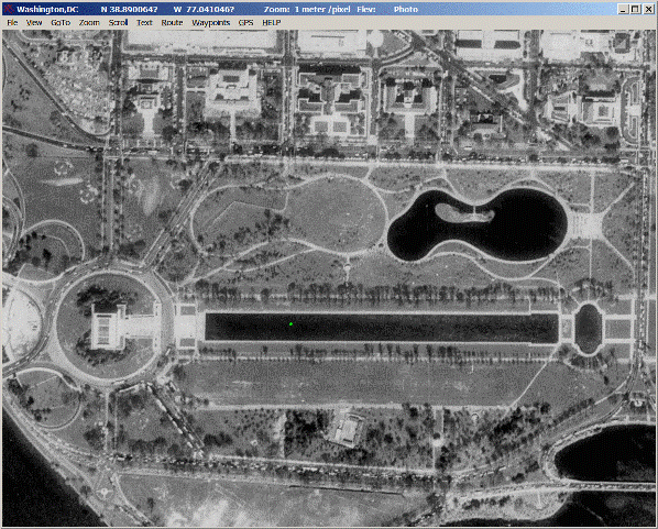
USAPhotoMaps downloads USGS aerial photo and topology map data from Microsoft’s free TerraServer Web site, saves it on your hard drive, and creates maps with GPS accuracy. You can scroll and zoom, see latitude/longitude, USGS Landmarks, TIGER/Line streets, elevation and contour lines, add waypoints, routes, and text, go to any address, populated place, USGS landmark, or latitude/longitude in the U.S.A, transfer waypoints, tracks, and routes to and from most GPS receivers, see your GPS location etc.
Related Articles
Everything search engine – Locates Files and Folders by Filename
Everything search engine is an administrative tool that locates files and folders by filename instantly for Windows. You type in a search filter to limit what files and folders are displayed. It allows for quick and easy name and location searches for everything. […]
Download OpenPuff – Advanced Watermarking and Steganography Program
OpenPuff is a advanced watermarking and Steganography, or data hiding, program capable of storing up to 256MB of encrypted data using an invisible copyright mark in pictures, video, audio, and flash files. It is used in windows.HW seeded random number generator (CSPRNG) […]
Download Start! Chrome Extension – Provide New Start Page
Start! Is an extension for Chrome that provides you with an all new start page. As well as housing links to your favorite web sites for easy access, the start page also displays news feeds and can be customized with a background image of your choice. […]
Be the first to comment