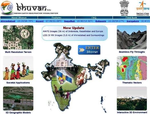
 Bhuvan, the mapping application launched by ISRO in august 2009, is now revamped. National Remote Sensing Centre of ISRO, Hyderabad has revamped its Geoportal Bhuvan (www.bhuvan.nrsc.gov.in) providing enhanced user experience. The Bhuvan team have now removed the login process to access the application. You will be taken directly to the 3D globe page wherein you can explore all the Bhuvan functionality.
Bhuvan is poised with a vision to be a one-stop versatile Indian Earth Observation visualization system evincing the Indian imaging capabilities. Bhuvan visualization portal is now serving the global data from IRS P6 (Resourcesat-1)-AWiFS data. Updated raster and thematic information, Bhuvan 2D Viewer and Ocean related services will soon be launched.
[advt]

What’s New in Bhuvan
- 5.8 m resolution seamless data for entire Indian region.
- Global coverage of 56m resolution data from IRS-P6 (Australia, New Zealand, Madagascar,
- Africa, South America, North America, Europe).
- Near Real time weather parameters for India from ISRO’s AWS stations.
- Wide variety of Thematic and Disaster Specific Information towards societal good.
How to Access Bhuvan
- Log on to www.bhuvan.nrsc.gov.in using any one of the following supported web browsers on Windows Platform. (1) Internet Explorer 6.0 or above, (2)Mozilla Firefox 3.5.1 or above, (3) Netscape 6.0 or above.
- For all those who have accessed Bhuvan earlier by installing the Bhuvan plug-in successfully, on the Bhuvan Homepage, just click the ‘Enter Bhuvan ’button and you will be taken to the Bhuvan 3D Globe page.
- For first time users, on clicking the ‘Enter bhuvan’ button on the Bhuvan homepage, you will be taken to the plug-in download page wherein you will be asked to download the DirectX 9.0 or above and the Bhuvan plug-in . After successful download and installation of these files, Click Enter Bhuvan link ( placed all the bottom of the plug-in download page) and It will take you to the Bhuvan 3D Globe page.
- Note For Firefox and Netscape browser users: While using the Firefox and Netscape browsers for accessing Bhuvan, on the homepage after clicking ‘Enter Bbhuvan’, a separate window will be launched. You can fully use Bhuvan and its functionality inside this separate window.
Basic Features of Bhuvan
- Access, explore and visualise2D and 3D image data along with rich thematic information on soil, wasteland, water resources etc.
- Visualisemulti-resolution, multi-sensor, multi-temporal IRS image data Superpose administrative boundaries of choice on images as required
- Visualisation of AWS (Automatic Weather Stations) data/Information in a graphic view and use tabular weather data of user choice
- Fly to locations (To fly from the current location directly to the selected location)
- Heads-Up display (HUD) navigation controls (Tilt slider, north indicator, opacity, compass ring, zoom slider)
- Navigation using the 3D view pop-up menu (Fly-in, fly-out, jump in, jump around, view point)
- 3D fly through (3D view to fly to locations, objects in the terrain, and navigate freely using the mouse or keyboard)
- Drawing 2D objects (Text labels, polylines, polygons, rectangles, 2D arrows, circles, ellipse) and 3D Objects (placing of expressive 3D models, 3D polygons, boxes)
- Snapshot creation (Copies the 3D view to a floating window and allows to save to a external file)
- Measurement tools (Horizontal distance, aerial distance, vertical distance)
- Shadow analysis (It sets the sun position based on the given time creating shadows and effects the lighting on the terrain)
- Urban Design Tools (To build roads, junctions and traffic lights in an urban setting)
- Contour map (Displays a colorized terrain map and contour lines)
- Draw tools (Creates simple markers, free hand lines, urban designs)
- Navigation map (To jump to and view locations in the 3D India)
- Metadata for satellite images
Data / Information available
Administrative Boundaries: Country, State, District, Taluk, Village
Raster Datasets: IRS P6 –AWiFS, IRS P6 –LISS III, IRS P6 –LISS IV, Oceansat1 & 2 –OCM
Thematic Information: Wasteland, Soil, Ground Water Prospects
Value added Information: Watershed Boundary, Weather Parameters (AWS), Disaster Specific Datasets (Flood & Drought)


Be the first to comment