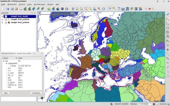
QGIS is free software for Geographic Information system that supports vector, raster, and database formats and lets you browse and create map data on your computer. It supports many common spatial data formats (e.g. ESRI ShapeFile, geotiff). QGIS supports plugins to do things like display tracks from your GPS. QGIS has reached that point in its evolution and is being used by many for their daily GIS data viewing needs. QGIS supports a number of raster and vector data formats, with new support easily added using the plugin architecture.
Features:
- Support for spatially enabled PostgreSQL tables using PostGIS
- Support for ESRI shapefiles and other vector formats support by the OGR library
- MapInfo files
- GRASS integration, including view, edit, and analysis
- On the fly projection of vector layers
- Map composer
- Identify features
- Display attribute table
- Select features
- Label features
- Persistent selections
- [advt] Save and restore projects
- Support for raster formats supported by the GDAL library
- Change vector symbology (single, graduated, unique value, and continuous)
- SVG markers symbology (single, unique value, and graduated)
- Display raster data such as digital elevation models, aerial photography or landsat imagery
- Change raster symbology (grayscale, pseudocolor and multiband RGB)
- Export to Mapserver map file
- Digitizing support
- Map overview
- Plugins
- Improved vector and attribute editing
- Improved measure tools with area measuring
- Attribute searching
- New legend structure
- Refactoring of API to allow the use of QGIS libraries in mapping applications
- Improved MapServer export tool
- Vector layer transparency and antialiasing
- GRASS support in all platforms
- Enhanced GRASS support and toolbox commands
- Enhanced vector editing, including copy, cut, paste, snapping and vertex editing
- Shapefile/OGR layer editing

Be the first to comment